My Books on Amazon






There are 72 blog posts for you to enjoy.
San Antonio, Ecuador
September 18, 2025
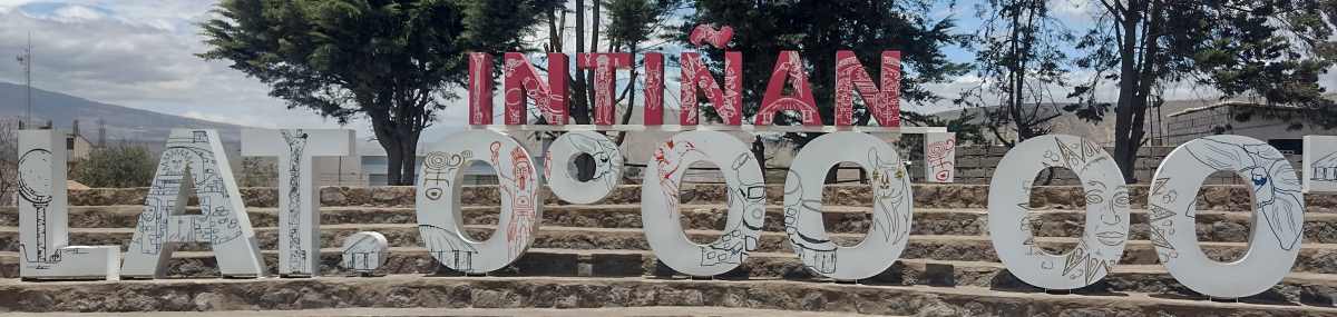
San Antonio de Pichincha, Ecuador, AKA Mitad del Mundo, sits about 26 kilometers north of central Quito. The town has a population of about 70,000. The town was formally established in 1901. But, it's history goes back to before the colonial era. The original name was Llanura de Lulumbamba, it means "plain of ripe fruit," that was followed a name change to San Antonio de Lulumbamba and then changed again, when it was formally established in 1901, to San Antonio de Pichincha. Why is it called "The middle of the world" when there are other cities on the equator in other countries? Because it is not only the fact that it is on the equator, but it is also the highest elevation on the equator. Thus making it the closest to the sun of any on the planet, so they say at the museum.
Read MoreCalacalí, Ecuador
September 17, 2025
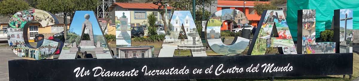
Calacalí is a small town on the northwestern edge of Quito’s canton, population somewhere around four thousand. It’s a gateway town — the last flat before the road shoots up toward the cloud forests and eventually Mindo. The surrounding hills connect into the Chocó Andino, with Pululahua’s volcanic crater and Yunguilla’s misty forests not far off. The place has deep roots, once home to the Yumbo people before the Spanish dragged their sugar mills and trapiches into the valley. Today, it’s a sleepy little town with a couple of plazas, murals splashed on walls, and the kind of laid-back pace that makes you forget the capital is less than an hour away.
Read MoreFinding the Equator
September 15, 2025
The Great Toilet Swirl Myth
You’ve probably heard the story: flush a toilet in the Southern Hemisphere and the water spins counterclockwise, while in the Northern Hemisphere it spins clockwise. Sounds neat, right? Too neat. The truth is, the Coriolis effect — the force that makes hurricanes spin different ways depending on the hemisphere — is far too weak to control a couple liters of water in a toilet bowl. What really decides the spin? The design of the toilet, the angle of the jets, and how the water gets pushed into the bowl. The “different directions” trick you’ll see at equator museums is stage magic: tilt the funnel one way, the water swirls one way; tilt it the other, presto, it changes direction. Entertaining, yes. Science? Not so much.
References:
How Stuff Works
Britannica
Live Science
Snopes.com
National Geographic
Mindo, Ecuador
September 14, 2025
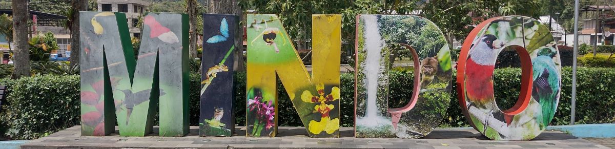
Mindo, Ecuador, AKA San Carlos on Google Maps, also Mindo Valley, is a small town of around 3,000 people. It's tucked into the cloud forests about two hours northwest of Quito. Officially founded in 1861, it has grown into one of Ecuador's most favorite must-see tourist destinations. On weekends, it feels like much more when buses spill out day-trippers and weekenders. The town gets visitors from all over the world. During my three days here, I met more than a few tourists from various European countries, and a few from North America. The town sits at the edge of the Mindo-Nambillo Reserve, part of the Andean Chocó region, which means it’s surrounded by thick green hills, endless bird calls, and more shades of mossy damp than you thought existed.
Read MoreSan Miguel de Los Bancos, Ecuador
September 10, 2025
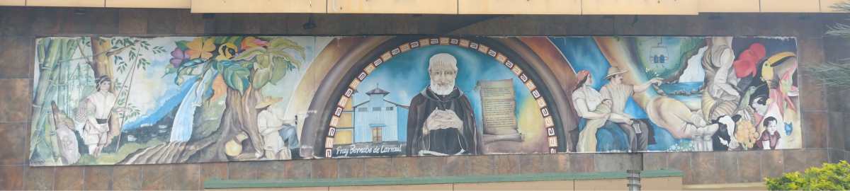
Los Bancos dates back only to 1971, not long after the highway across the Andes Mountains was completed. The town is small, with around 18,000 people. It’s steep and hilly, as you’d expect in the Andes. Two roads are almost level - the highway, Ruta E28 (heading southwest out of town) and Av. 17 de Julio (heading northwest out of town). All the other roads are quite steep, some having stairs instead of sidewalks, and most are "paved" with hand-laid pavers, not asphalt.
Read More
I used to teach English as a foreign language in Barranquilla, Colombia. Now I'm retired and traveling throughout South America.
I'm from Kennewick, Washington, USA. In my previous life, as I call it, I was an IT guy, systems administrator, computer tech, as well as a shipping/receiving guy and also worked as a merchandising guy in a RV/Camping store.