There are 478 blog posts for you to enjoy.
Camargo, Bolivia - a pleasant, quiet town next to red cliffs
July 4, 2026
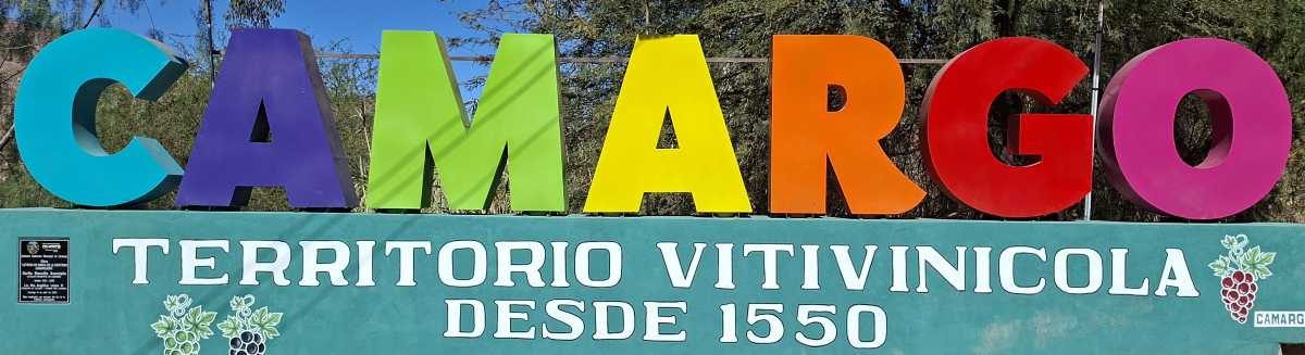
Camargo, Bolivia: population maybe around 15,000; located in the Cinti Valley, in which one side is high cliffs and the other high hills; the town sits at about 2425 meters (7956 feet). The Chico River runs alongside the town, and some new suburban growth is occuring across the river. The cliffs prevent the town from expanding that way, and there is some room between the river and the high hills. Those cliffs are impressive, red, and vertically straight up.
Read More
Potosí and Sucre, Bolivia - No Thank You
June 29, 2026
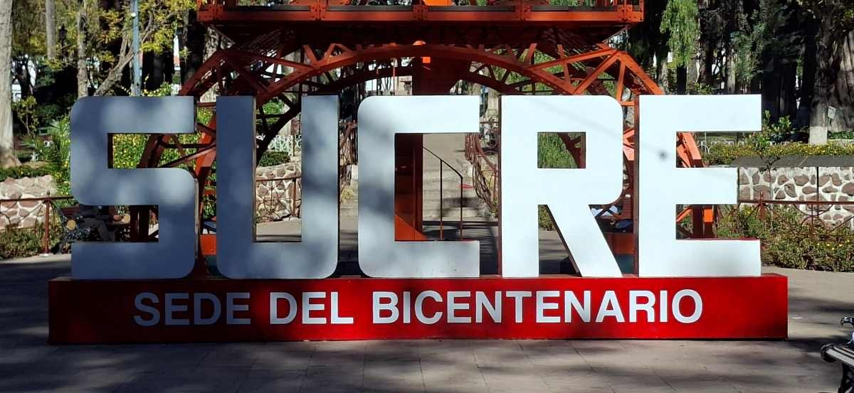
Sucre, BO
Sucre, Bolivia - founded in 1538; population about 300,000; elevation: 2790 meters (9150 feet). Climate: yearly average daytime high about 22° C (71° F) and night lows average 10° C (51° F). It doesn't rain much in Sucre. They get an average of 646mm (25.4 inches) of rain per year. Sucre is the capital city of Bolivia. This city is the second-highest capital city in the world, the highest being Quito, Ecuador. Quito sits at 2,850 meters (9,350 feet). Bolivia has two capitals - Sucre and La Paz. La Paz sits at 3,650 meters (11,975 feet). Sucre is the constitutional capital and La Paz is the administrative capital.
Read More
Aiquile, BO
June 23, 2026
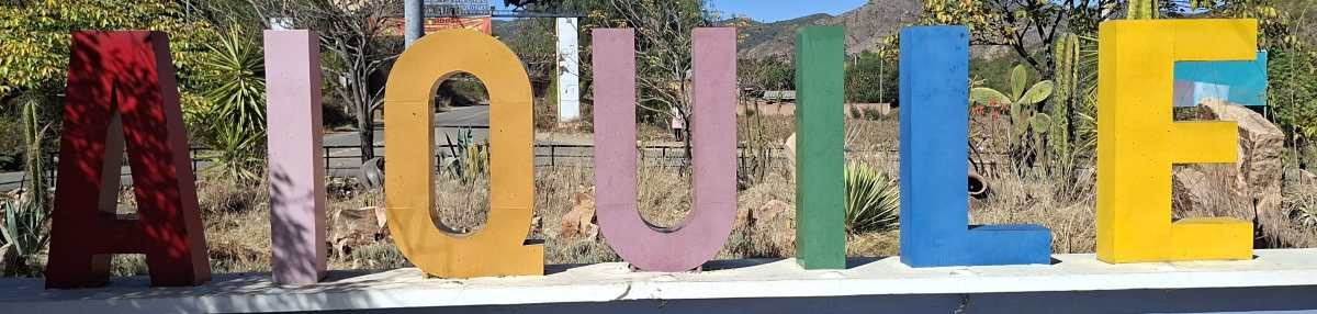
Aiquile, Bolivia, is a town of about 27,000 sitting at an elevation of about 2260 meters (7400 feet), in a valley on the eastern side of the Andes Mountains. The vast majority of the population is indigenous Quechua and speaks the Quechua language. Most of the younger population also speaks Spanish, while most of the older generations do not.
The town is quite pleasant, something actually rare in my experiences in Bolivia (I now know 18 cities in Bolivia). Of the towns I know, there are 2 (Aiquile and Samaipata) that I actually like, plus one community that isn't actually even a town (Santiago de Chiquitos).
Read More
Samaipata, Bolivia: Where the Tourists Visit, But Don’t Own the Place
June 19, 2026
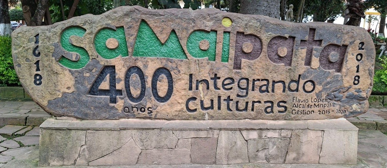
Samaipata, Bolivia, population about 13,000, sits at an elevation of 1640 meters (5380 feet). The town is built around a central plaza and sits in the mountains. The town was founded in 1618 with the name "Ciudad del Valle de la Purificación de la Santísima Virgen" which means, "City of the Valley of the Purification of the Blessed Virgin." It had been known as Castilla during the Colonial period. Maybe the Blessed Virgin was purified, but their water certainly isn't - don't drink the water, you'll be sorry.
Some websites say that this site has the “World’s largest petroglyph.” But that is probably better phrased as “one of the world’s largest carved rock monuments” or “often described as the largest carved rock in the world.” “Petroglyph” can be too narrow here, as well, because the site includes channels, niches, animal figures, terraces, and architectural remains, not just rock drawings. UNESCO says the red sandstone monolith is about 220 meters long and 60 meters wide.
Read More
UNESCO Heritage Sites - Part 3
June 16, 2026
My previous 2 blogs talked about some of the towns (pueblos) east of Santa Cruz, Bolivia. After going out to Roboré and Santiago de Chiquitos, I returned to the town of San José de Chiquitos. San José is the turn-off point to do the northern circuit of the Jesuit Missions. The first stop is San Rafael. From there, you visit San Ignacio, Concepción, San Javier, and San Julián. Those are the towns with the UNESCO Jesuit Missions churches that survived the centuries and were restored in the 1980s and 1990s. The first blog of this series also spoke about the Jesuits and their missions, and the second blog also spoke about the Mennonites who live in this part of Bolivia.
Read More